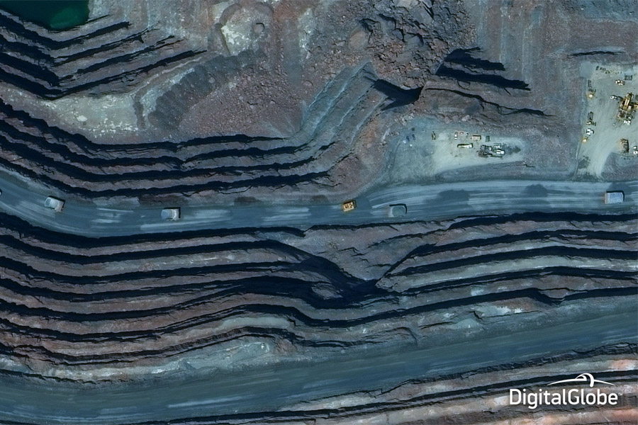
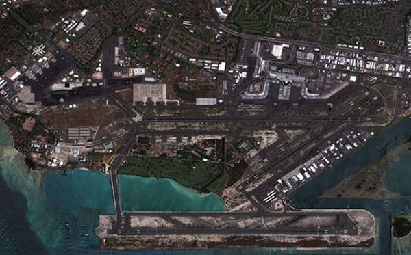
Satellite Imagery
With access to several sensors and a one of a kind accuracy enhancing dataset, we provide real world answers from high resolution imagery
Authoritative & seamless orthomosaic and auto-correlated DEM creation
- Submeter Accuracy using our control point survey
- Customizable solutions meeting your primary area of interest
- Rapid access to off the shelf satellite imagery archive
- Quality product generation using certified processes
Getting the most out of your Satellite Imagery
- Certified surveying control points
- Certified Orthorectification processes
- Qualified accuracy tools
- FAA DO-200 certification
- Digital elevation models (DEM)
- Feature Digitization