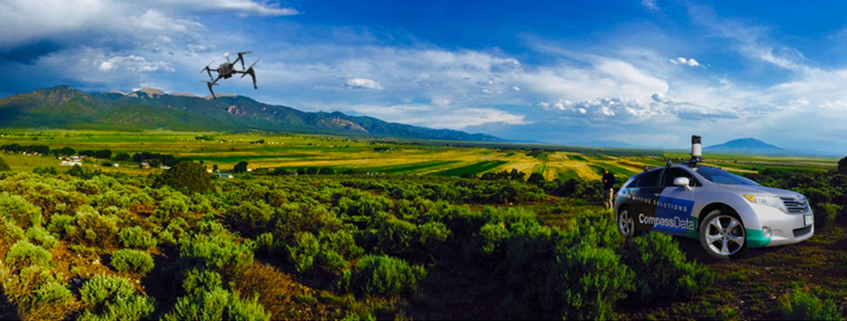
Survey Collection
Meeting Your Custom
ACCURACY Needs
Ensure That Your Operation Surveying Investment Provides the Greatest ROI
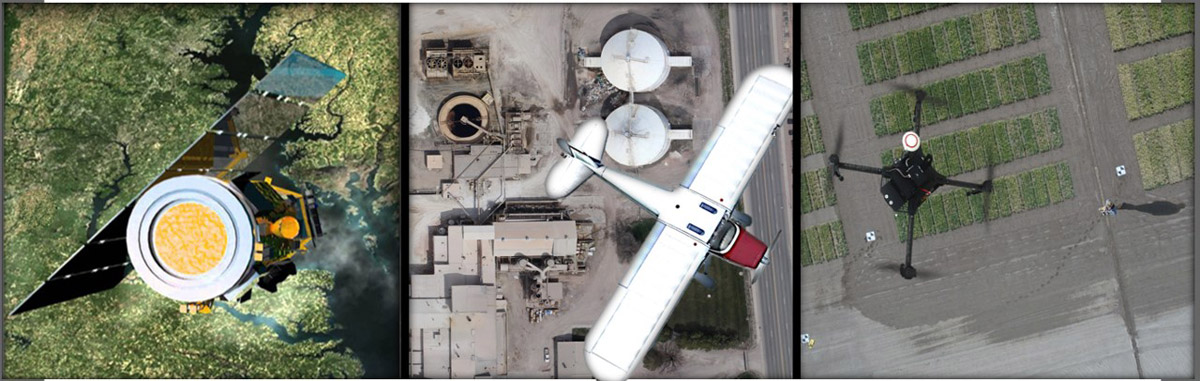
- Photo-ID Ground Control Point (GCP) for Imagery
- Photo-ID Ground Control Point (GCP) for LiDAR
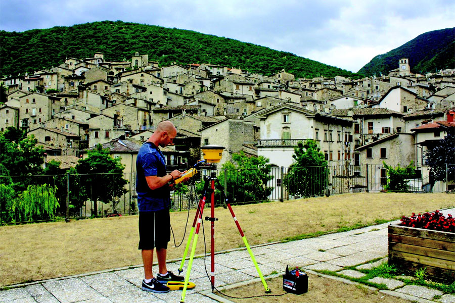
- Paneled Survey Control
- Remote Sensed Ground Control
- Ground Penetrating Radar Systems
Remote Sensing Solutions to Meet Your Custom Development Needs
“Our Mission is to Map the World”