Ground control points
The Foundation of Geospatial Accuracy
Trusted control for mapping, satellite, aerial, and LiDAR workflows.



Trusted control for mapping, satellite, aerial, and LiDAR workflows.
Access more than 88,000+ professionally surveyed ground control points ready for immediate use in your mapping workflows.
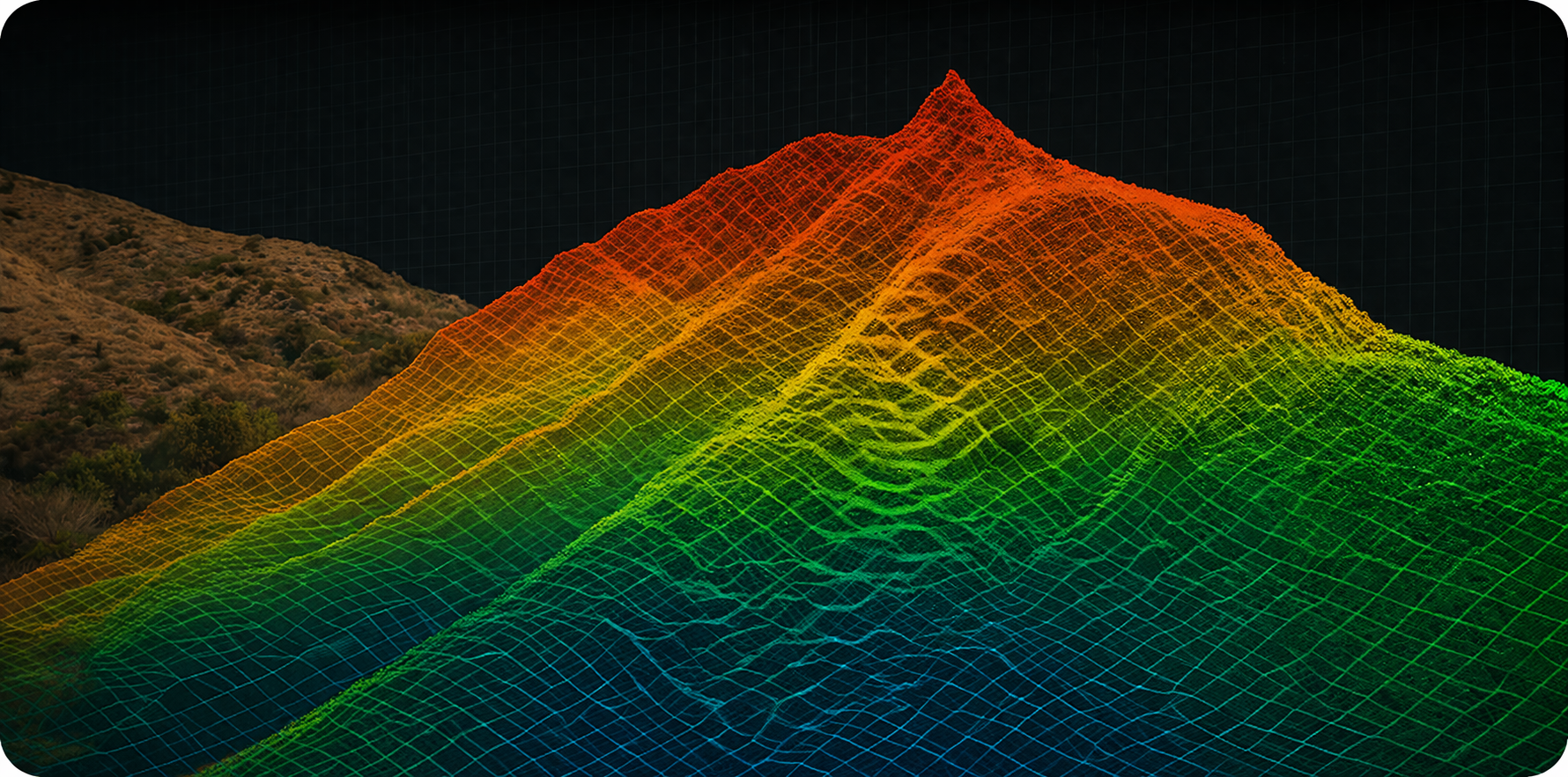
Precision LiDAR acquisition and processing anchored to authoritative ground control for reliable three dimensional mapping and analysis.
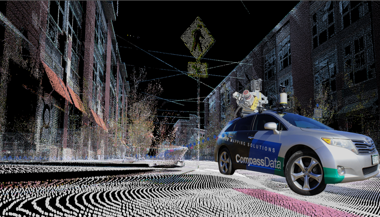
Survey grade mobile mapping capturing high resolution LiDAR and panoramic imagery for infrastructure and corridor mapping.
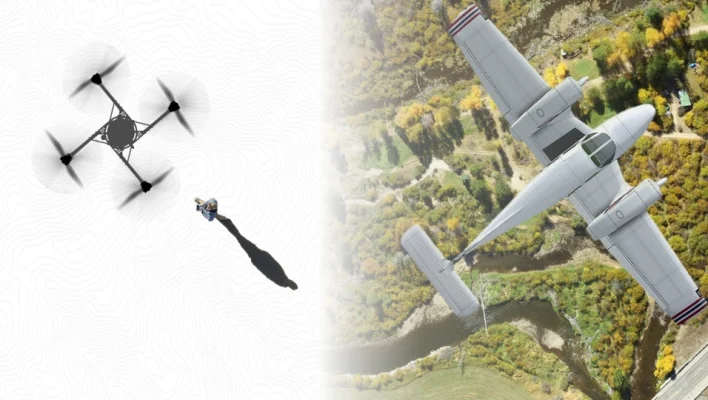
Professional aerial imagery acquisition supported by authoritative ground control for dependable mapping products and orthomosaics.
CompassData integrates high accuracy ground control with advanced processing to improve satellite imagery accuracy, calibration, and validation.


CompassData delivers the ground truth and geospatial data solutions that enable accurate mapping across drone, aerial, LiDAR, mobile, and satellite workflows. Backed by the world’s largest library of photo-identifiable Ground Control Points and global survey expertise, we provide the foundation for consistent, high-accuracy results at any scale.

Leverage validated ground control points across the word to assist your project’s success.
Our services meet the highest international quality standards (ISO 9001:2015 certification), and are recognized for their successful application in key sectors such as infrastructure, energy, telecommunications, defense, and natural resource management.
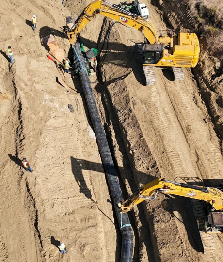
CompassData, Inc. completed one of the largest land surveys in Colorado history, spanning over 120 miles from Pueblo to Lamar across five counties. This critical project supported the Fryingpan-Arkansas (Fry-Ark) Water Reclamation Project, a massive infrastructure effort delivering clean water from the western slopes of the Continental Divide to the Arkansas River Valley.
As part of this strategic initiative, CompassData provided high-precision boundary mapping for water transmission pipelines, identifying easements and legal limits vital for construction and maintenance. The survey also revealed key environmental insights, including elevated cancer risks in counties lacking Reverse Osmosis (RO) treatment—highlighting the urgent need for clean water access.
Using advanced drone mapping, LiDAR scanning, and PLSS corner upgrades, CompassData addressed the complexity of surveying through 16 diversion structures and 9 tunnels across rugged terrain. The result: reliable, GIS-ready data that empowers sustainable water planning and supports communities facing groundwater contamination.
This project reinforces CompassData’s leadership in large-scale geospatial surveys, right-of-way (ROW) mapping, and environmental infrastructure solutions across Colorado and the western U.S

Trust Signals, ISO 9001:2015 Certified, FAA Certification, Used in National Geospatial Programs Available Upon Request.
A CompassData Control Freak is what we proudly call our team of geospatial experts who live and breathe ground truth accuracy. It’s not just a nickname—it’s a mindset. Our Control Freaks are dedicated professionals who specialize in the collection, verification, and delivery of high-accuracy Ground Control Points (GCPs) for mapping, surveying, and remote sensing applications around the world.
They are field-tested, detail-obsessed, and relentless about quality—ensuring every control point we deliver meets strict accuracy standards and integrates seamlessly into your workflow. From rugged terrain to remote locations, Control Freaks bring discipline, accuracy, and passion to every project.
Because when it comes to geospatial data, control isn’t just part of the job—it’s the whole point.
When it comes to Ground Truth, CompassData sets the industry standard. With decades of geodetic expertise and field-proven experience, we are the trusted experts in delivering accurate, reliable Ground Control Points for even the most demanding projects.
CompassData offers the largest and most accurate commercially available GCP archive, combined with the capability to collect custom GCPs worldwide. Our GCPs ensure exceptional geospatial accuracy for satellite imagery, aerial mapping, drone/UAV surveys, LiDAR calibration, and remote sensing applications.
When precision matters, trust the team that the industry trusts—CompassData, the true experts in Ground Truth. CompassData, the Control Freaks!
CompassData follows a rigorous, field-proven process to collect and validate Ground Control Points (GCPs) to the highest standards of accuracy and reliability.
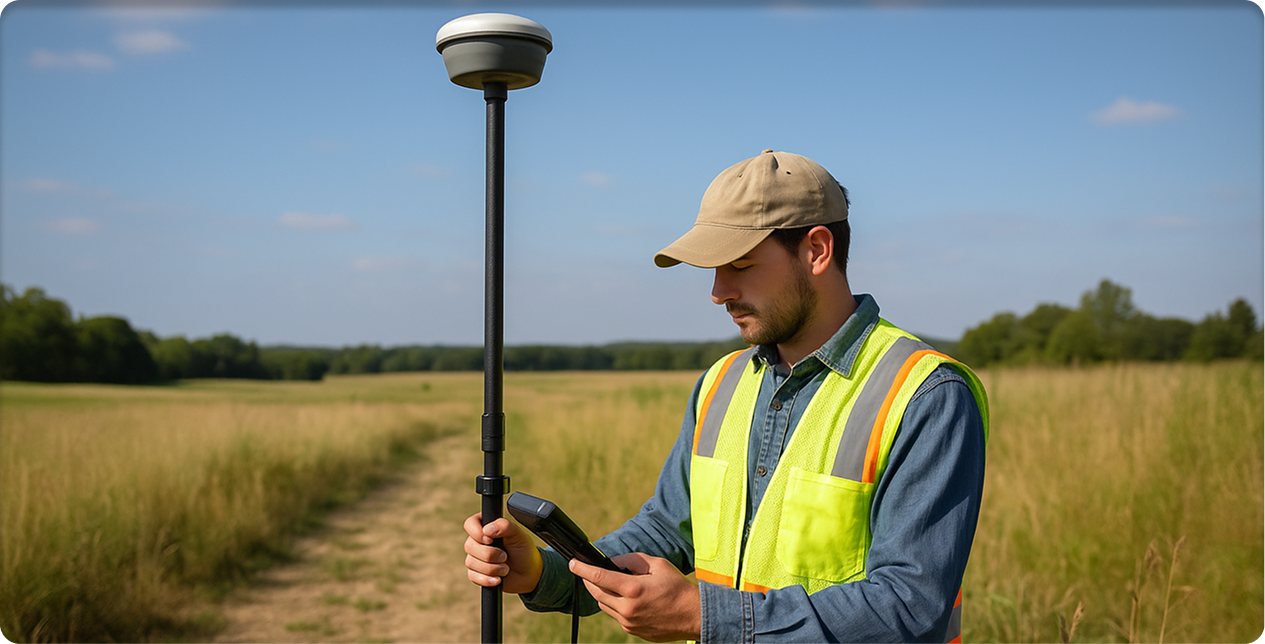
Our professional survey teams use high-precision GNSS equipment—including dual-frequency GPS, GNSS receivers, and total stations—to collect GCP data in the field. Each point is surveyed using industry-standard techniques such as static, rapid-static, or RTK (Real-Time Kinematic) surveys, depending on project requirements and location conditions.
Once collected, every GCP undergoes a comprehensive validation process:
Cross-checking with known control networks (such as CORS or national geodetic databases)
Post-processing of GNSS data using precise ephemeris corrections
Accuracy reporting that quantifies horizontal and vertical errors
Thorough quality control (QC) reviews to ensure the data meets or exceeds project specifications
Each CompassData GCP delivery includes full documentation: coordinates in multiple formats, metadata, site sketches, field photos, and detailed accuracy reports—providing complete transparency and confidence in the ground truth data.
With CompassData, you’re not just getting GCPs—you’re getting trusted, professionally validated accuracy.
CompassData offers traditional Ground Control Points (GCPs), Remotely Sensed GCPs (RSGCP™), and custom solutions for photogrammetry, LiDAR, UAV mapping, and GIS applications.
Yes, CompassData’s Ground Control Points improve satellite image georeferencing, ensuring precise positioning and enhanced accuracy for remote sensing applications.
At CompassData, we supercharge UAV-based mapping projects with pre-surveyed Ground Control Points and fully customized ground control solutions. Our GCPs dramatically improve photogrammetric accuracy, minimize image distortion, and elevate the overall accuracy of drone-collected data.
Whether you’re capturing high-resolution imagery for infrastructure, agriculture, construction, or environmental monitoring, our expertly collected GCPs provide the trusted ground truth needed to turn aerial data into highly accurate, survey-grade deliverables.
With CompassData, your drone mapping isn’t just sharp—it’s geospatially accurate.
At CompassData, accuracy isn’t a goal—it’s a guarantee.
We deliver sub-meter to centimeter-level accuracy based on the project’s requirements, geodetic processing methods, and applicable industry standards. Every GCP is collected and validated through rigorous surveying techniques and quality control processes, ensuring that your data meets or exceeds the precision your project demands.
When you need ground truth you can trust, CompassData’s GCPs deliver with confidence, consistency, and proven results.
Absolutely. CompassData’s Ground Control Points (GCPs) are a vital foundation for accurate urban planning and smart city development.
Our high-accuracy GCPs enhance GIS mapping, infrastructure design, zoning analysis, utility planning, and transportation modeling by dramatically improving the accuracy of spatial data. Whether you're building smarter cities, expanding infrastructure, or optimizing land use, CompassData delivers the ground truth needed to turn vision into reality—accurately and reliably.
Accessing trusted ground truth has never been easier. CompassData offers pre-surveyed Ground Control Points (GCPs), covering locations across the globe and spreading across over 120 countries. Our archive is available for direct download or can be customized for specific project requests based on your accuracy, format, and location needs.
You can explore a truncated version of our GCP archive directly on our website. Simply request access to download an Esri Shapefile for seamless integration into your GIS platform or a KMZ file for quick viewing in Google Earth Pro.
To place an order or request custom solutions, contact CompassData at
.
Absolutely. CompassData’s Ground Control Points (GCPs) span over 120 countries, delivering accurate, reliable geospatial data for mapping, surveying, and remote sensing projects anywhere in the world.
Through our extensive archive and global field operations, we offer pre-surveyed GCPs as well as custom quotes for Rapidly Surveyed Ground Control Points (RSGCPs) to meet your project's exact specifications and timelines.
No matter where your project takes you, CompassData has the ground control expertise—and global coverage—you can trust.
Requesting a custom Ground Control Point (GCP) survey is simple! Contact any of the CompassData Control Freaks directly or email us at
to discuss your project’s specific accuracy targets, coordinate system requirements, geographic location, and any technical needs.
Our team will work with you to create a customized survey plan and provide a detailed quote, ensuring your ground control solution is delivered accurately, efficiently, and ready to integrate seamlessly into your workflow.