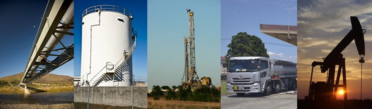
Oil & Gas
Data Collection:
- Mobile, Aerial, Drone Satellite Imagery
- Mobile, Aerial, Drone LiDAR
- Geodetic Control
- Topographic Surveys
- Subsurface Utility Surveys

Data Processing:
- Pipeline System Mapping & Routing
- Asset Mapping
- Site Maps
- 2D Mapping
- 3D Mapping

Accurate GIS Data Collection and Management
Increase the productivity of your energy company:
- Quick image and mapping of utility corridors
- Pipeline GIS mapping
- Well pads GIS mapping
- Other features of interest
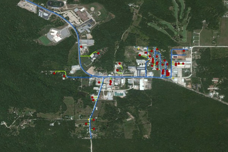
Inventory Surveys and Complete Asset Petroleum and Pipeline
Logically store locations and attributes of all assets in a digital format
- Efficient project planning
- Promotes accurate asset management
- Create user-friendly access to information through GIS mapping
- Reduces maintenance costs
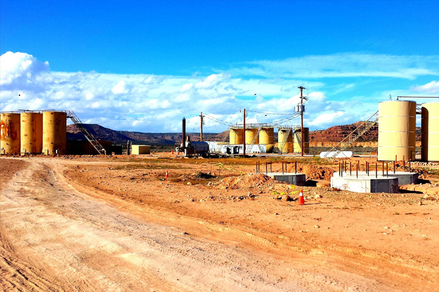
CompassData is well versed in Petroleum and Pipeline Surveys
Look no further than CompassData to ensure that the footprint, condition, and location of your oil and gas equipment is accurate