Discover CompassData
About Us & Our Story

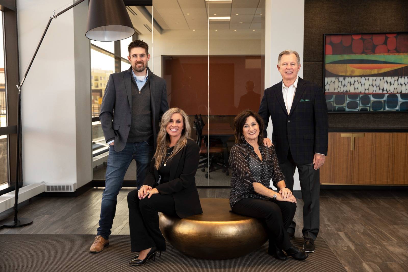
CompassData was founded by Margaret J. Howard and W. B Brant Howard in Centennial, Colorado in 1994 as part of the CompassCom family of companies. We were incorporated separately in November 2003 as a woman-owned small business led by Chief Executive Officer Kate Schlatter.
CompassData is proud to offer the industry’s largest commercially available archive of over 80,000 Ground Control Points across six continents, which can be used for orthorectification, airport mapping, data verification, and sensor calibration.
Our mission is to map the world and make reliable, highly accurate data accessible and affordable. Our software tools also enable automated quality control of imagery and LiDAR products.
In 2016, CompassData founded CompassDrone to specialize in processing high-quality, spatially accurate data for Geographic Information Systems (GIS) applications, photogrammetry, LiDAR and remotely sensed data. CompassDrone is a full-service dealer for sale, rental, or lease of drone equipment. We provide software, services, and training for drone-based data collection for industrial grade remote sensing projects.
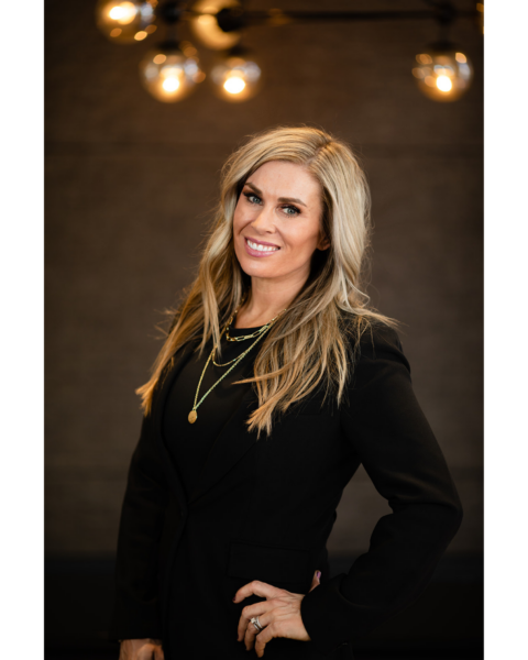
Kate Schlatter serves as Chief Executive Officer of CompassData, where she leads the company's strategic vision, long-term growth, and innovation across high-accuracy geospatial data, software, and solutions.With more than 25 years of leadership in the geospatial industry, Kate is committed to building trusted relationships, developing exceptional teams, and delivering innovative solutions that help customers make confident decisions.
Before becoming CEO, Kate served for more than two decades as Chief Operating Officer of CompassData and CompassCom Software. Her leadership is grounded in balance, responsibility, respect, integrity, and a commitment to continuous improvement. She believes great companies are built by great people and fosters a culture centered on accountability, teamwork, exceptional customer service, and good sportsmanship.
Passionate about advancing the geospatial industry, Kate focuses on creating lasting value by combining trusted relationships, proprietary geospatial data, innovative software, and deep industry expertise. She is proud to lead CompassData as the company expands the world's largest and most accurate archive of Ground Control Points and fulfills its mission of Grounding the World in Accuracy.

Hayden Howard serves as Executive Vice President of CompassData, where he leads technology strategy, innovation, business development, and the development of next-generation geospatial solutions. With more than two decades at CompassData, he has helped shape the company's technical direction by building high-performing teams, advancing emerging technologies, and expanding the delivery of high-accuracy geospatial data and services worldwide.
Throughout his career, Hayden has contributed to nearly every aspect of the business. He has collected geospatial data on projects around the world, managed complex mapping initiatives, led operations, developed innovative products and services, and built lasting relationships with customers and industry partners. This broad experience gives him a deep understanding of the technologies, workflows, and challenges that drive successful geospatial solutions.
Recognized throughout the geospatial industry for his technical expertise and long-standing industry relationships, Hayden is passionate about partnering with customers, technology providers, and industry leaders to solve complex challenges and create new opportunities. His expertise spans geospatial technology, product innovation, business strategy, and operational leadership, helping CompassData deliver exceptional value while advancing its mission of Grounding the World in Accuracy.

Brant Howard is the Founder and Chairman of the Compass Family of Companies, including CompassData and CompassCom Software. A recognized pioneer in the geospatial industry with more than four decades of experience, Brant has dedicated his career to advancing geospatial technology through innovation, entrepreneurship, and strategic leadership. His vision established the foundation for CompassData's reputation as a trusted provider of high-accuracy geospatial data and CompassCom's leadership in real-time mobile resource management solutions.
Throughout his career, Brant has worked across nearly every facet of the geospatial profession. From his early work as a Hydrogeologist with the U.S. Geological Survey to designing GIS programs, collecting GPS data, managing multidisciplinary mapping projects, and developing patented technologies, his experience has helped shape the evolution of the industry. He holds patents in technologies integrating GNSS, GIS, IoT, and wireless communications.
Known throughout the geospatial community for his industry relationships, technical expertise, and entrepreneurial spirit, Brant continues to guide the strategic direction of the Compass Family of Companies. His passion for innovation, customer success, and solving complex challenges has helped build lasting partnerships and position the company for continued growth while remaining committed to its mission of Grounding the World in Accuracy.
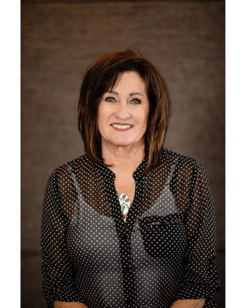
Margaret J. Howard is the Co-Founder and Chairwoman of the Board of the Compass Family of Companies. Since co-founding the business in 1994, she has played an integral role in its growth, helping build a trusted reputation for delivering high-accuracy geospatial data and innovative solutions to customers around the world.
Over the years, Maggie has traveled extensively, collecting Ground Control Points across the globe and contributing to what is now the world's largest and most accurate archive of Ground Control Points. Herhands-on field experience, deep understanding of customer needs, and long-standing relationships throughout the geospatial industry have helped shape the company's commitment to quality, accuracy, and exceptional service.
Today, Maggie continues to provide strategic guidance to the organization while supporting the people, partnerships, and values that have defined CompassData for more than three decades. Her dedication toexcellence and customer success remains an important part of the company's continued growth and mission of Grounding the World in Accuracy.
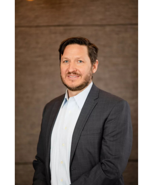
Master of Land Surveying, Geodesy, Remote Sensing and Photogrammetry Professional Licenses for AZ, CO, ID, NE, UT
Philipp Hummel has provided surveys for numerous projects in the USA and over 100 countries. His career began at the University of Karlsruhe, Germany. After years in engineering surveying, he pursued traditional land surveying across the Western US, becoming a licensed surveyor.
Since 2011, he has been combining surveying with remote sensing and photogrammetry. At CompassData, he introduced surveying practices and geodetic knowledge. Furthermore, the standardized workflows he implemented ensured the achievement of data accuracy for global datasets. The FAA accepted these workflows and formal documentation for safety-sensitive airport mapping. The increasing accuracy demands of metric cameras and lidar sensors were successfully met under his technical guidance and team leadership.
Over the last decade, his role evolved from technical leadership to becoming a proven leader in the geospatial industries of data acquisition and data management. As Vice President, his responsibilities grew to overseeing strategic planning, business development, and operational management. Philipp continues to drive innovation at CompassData, fostering a culture of excellence and ensuring the delivery of high-precision geospatial solutions to clients worldwide.
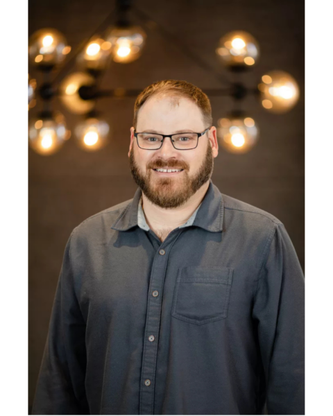
Derek Watson, Technical Director of CompassData, Inc., has been instrumental in positioning the company at the forefront of geospatial innovation. With extensive experience in the geospatial profession, Derek specializes in deploying and optimizing cutting-edge technologies, including terrestrial scanners, reality capture backpacks, drone and mobile LiDAR and imagery, as well as aerial LiDAR and imagery systems. His deep expertise, coupled with an unwavering commitment to customer success, has earned him recognition as a leading professional in the industry. Derek has successfully managed projects in some of the most remote locations across the United States and tackled complex urban environments, such as conducting high-accuracy LiDAR surveys in Manhattan, New York.
Derek holds an M.S. in Geographic Information Science with a focus on Remote Sensing and Photogrammetry, as well as a Graduate Certificate in Geographic Information Systems from the University of Denver. He also earned a B.A. in Political Science with a focus on Geopolitics and Public Administration from Metropolitan State University of Denver. A certified FAA Remote Pilot (sUAS Rating) and an active member of ASPRS (American Society for Photogrammetry and Remote Sensing), Derek is experienced in using a wide array of aerial and terrestrial LiDAR and photogrammetry software suites. Known for consistently testing and implementing new systems, Derek ensures that CompassData delivers the highest accuracy and quality geospatial data on the market. His leadership and passion for advancing geospatial technology have been essential in CompassData’s mission to provide innovative solutions for clients worldwide.
We collaborate with some of the best companies to bring you the accuracy and data you need.



See why we are trusted as the global authority in Ground Control Points.
Enter your details to chat.